I’m writing a
short story for a Christmas box set. My story is The Duke’s Lost Love. It is a
cross-over story to my series, The Ladies of Sommer-by-the-Sea. The venue for
these stories is in the village of Sommer-by-the-Sea not far from Newcastle.
I wanted
my hero and heroine isolated and forced to work together. Christmas. Snow. Snowstorm.
Avalanche. I was definitely on to something. Now all I had to do was find
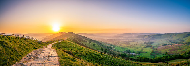
mountains. I was in luck. I found Pennine Way. Steeped in history and traversing spectacular
landscapes, the iconic Pennine Way stretches for 268 miles (435km) across
England’s wild northern uplands.
The route
follows England’s rocky spine from the hills of the Derbyshire Peak District
and the Yorkshire Dales, through the stunning Swaledale Valley, across the
North Pennines and over Hadrian’s Wall in Northumberland to the Cheviot Hills,
ending in the Scottish Borders in Kirk Yetholm.
The path was
the idea of the journalist and rambler Tom Stephenson. He was inspired by
similar trails in the United States, particularly the Appalachian Trail.
Stephenson proposed the concept in an article for the Daily Herald in 1935, and
lobbied Parliament for the creation of an official trail. The final section was
declared open in a ceremony held on Malham Moor on 24 April 1965.
I closed my
computer for the day knowing I found the mountain range I needed for my story.
In the
morning, before setting out for the gym, I went through the news on my phone
and saw the word Pennine in passing. I scrolled back. It was an article about a
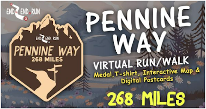
virtual hike along the Pennine Way. Here is what it said…
Follow the first
National Trail in England which takes in 3 National Parks – the Peak
District, the Yorkshire Dales and Northumberland, as well as the North Pennines
AONB (Area of Outstanding Natural Beauty). Our Pennine Way virtual challenge
stretches for 268 miles of breathtaking landscape, all the way from Edale, in
the northern Derbyshire Peak District, to Kirk Yetholm, just inside the
Scottish border.
A unique experience where
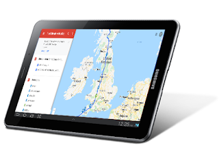
each participant will log their mileage-based activity and advance along the innovative
interactive map.
This extraordinary journey allows participants to keep motivated
and active, set and achieve physical goals and stimulate mental and physical
being whilst in their own local surroundings.
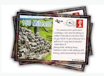
motivating postcards and interesting landmarks to keep you entertained and
motivated during your journey. Each postcard reveals interesting information
about points along the route. Download them to keep or share on your social
media.
Track yourself and
others!
After completing your mileage-based activity you can upload it to your interactive map and instantly move along the
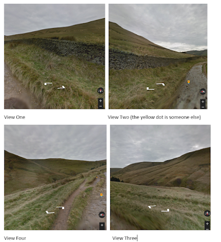
route, zoom in to street view to see your surroundings virtually as if you were
really there and check where others are around you from the leaderboard.
Check the mileage log for all your
activity and see how far you’ve come!
This is sure to keep you motivated to
achieve those fitness goals!
I put the information aside and went to the gym. I
haven’t been there for two years and decided to start small, on the treadmill.
As I watched the steps accumulate, I thought about the Pennine Way and the
virtual walk.
When I returned home, I signed up. Within minutes I
got my Bib number and all the information on what to do and how to submit your
miles.
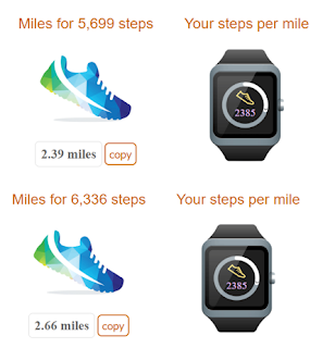
Here are the results of Sunday and
Monday…
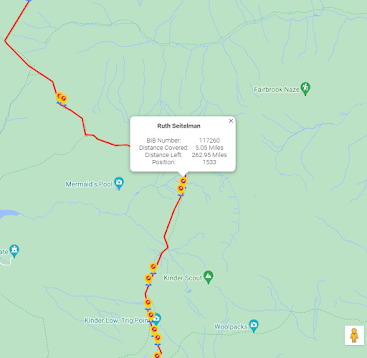
Here is my place after 5.05 miles on the trail.

0 Comments